

The Alps in Europe are very well known. The Southern Alps, located in New Zealand are less famous. But few outside of Australia have probably heard of the Australian Alps. They form part of the Great Dividing Range, the third longest land based mountain chain in the world.
Isn't Austria nice! Actually, this is Australia. 9 July 2007. A view over the central part of the Mt Buller village. Photo: Steve Bennett

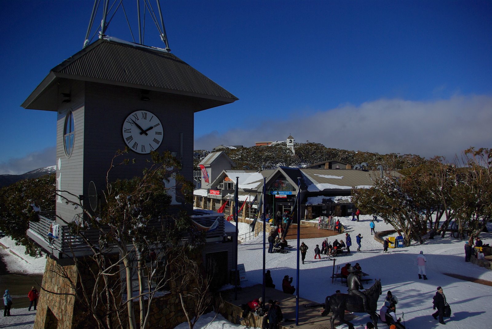
J.Lee, Digital Photograph of Perisher - showing Mount Perisher's Olympic Ski Trail, covered in winter snow complete with skiers.

On the slopes at Mount Blue Cow, Perisher Blue Resort. 28 July 2006 Photo: Ruth Ellison.
Mount Ginini - Namadgi National Park 2006-10-04 Photo: Dfrg.msc

Pictographs!
Yankee Hat Aboriginal Artwork in Namadgi National Park, Australian Capital Territory. Taken by me (Martyman) November 2005.

Mount Ginini - Namadgi National Park 2006-10-04. Photo: Dfrg.msc .

An (ungroomed) trail at Lake Mountain after recent snowfall. Taken by me Shogun 10:50, 17 February 2006 (UTC).

Panoramic view across the Mt Buffalo plateau. The highest peak on Mt Buffalo, The Horn at 1,723 m, is the white peak to image right approximately 3 km from the location of the camera (a walker's safety fence can be seen on top). The large number of dead trees visible resulted from the 2006-07 Victorian Alps Bushfires. Mount Buffalo National Park, Victoria, Australia. Taken by John O'Neill.

View of the Mt Buffalo plateau as seen from below the Horn. Photo: Zoltan Olah
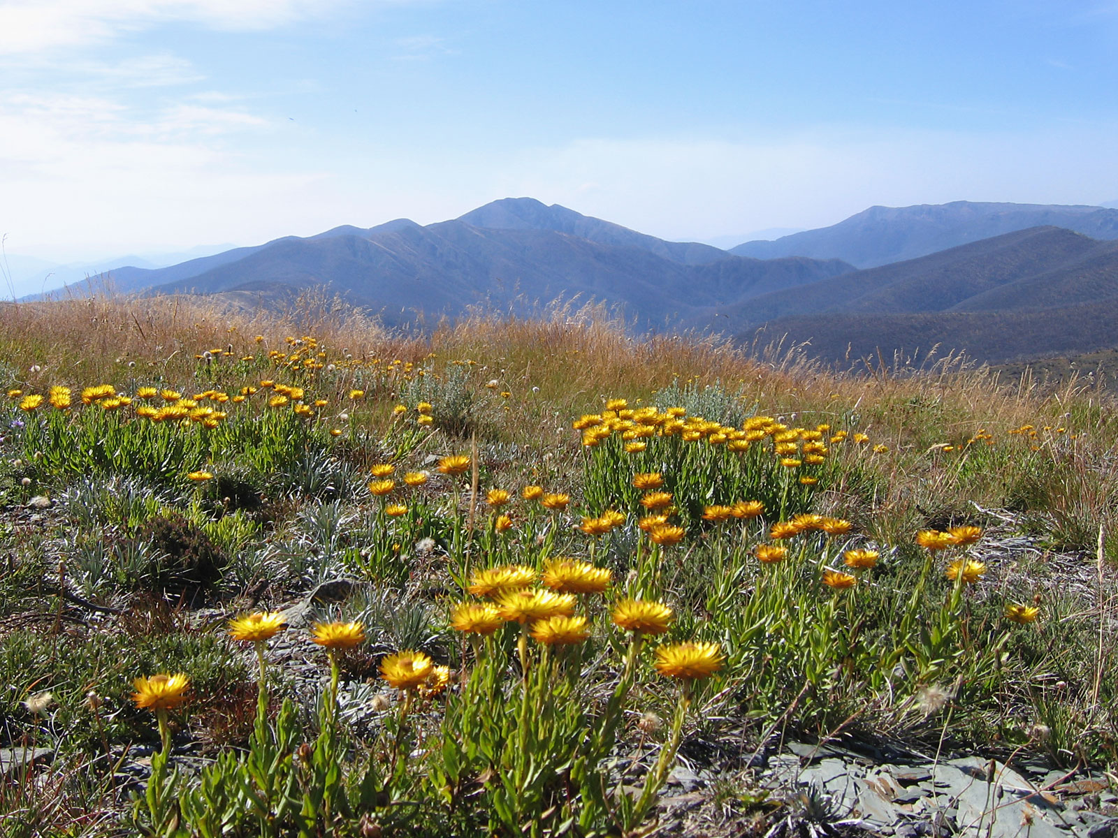
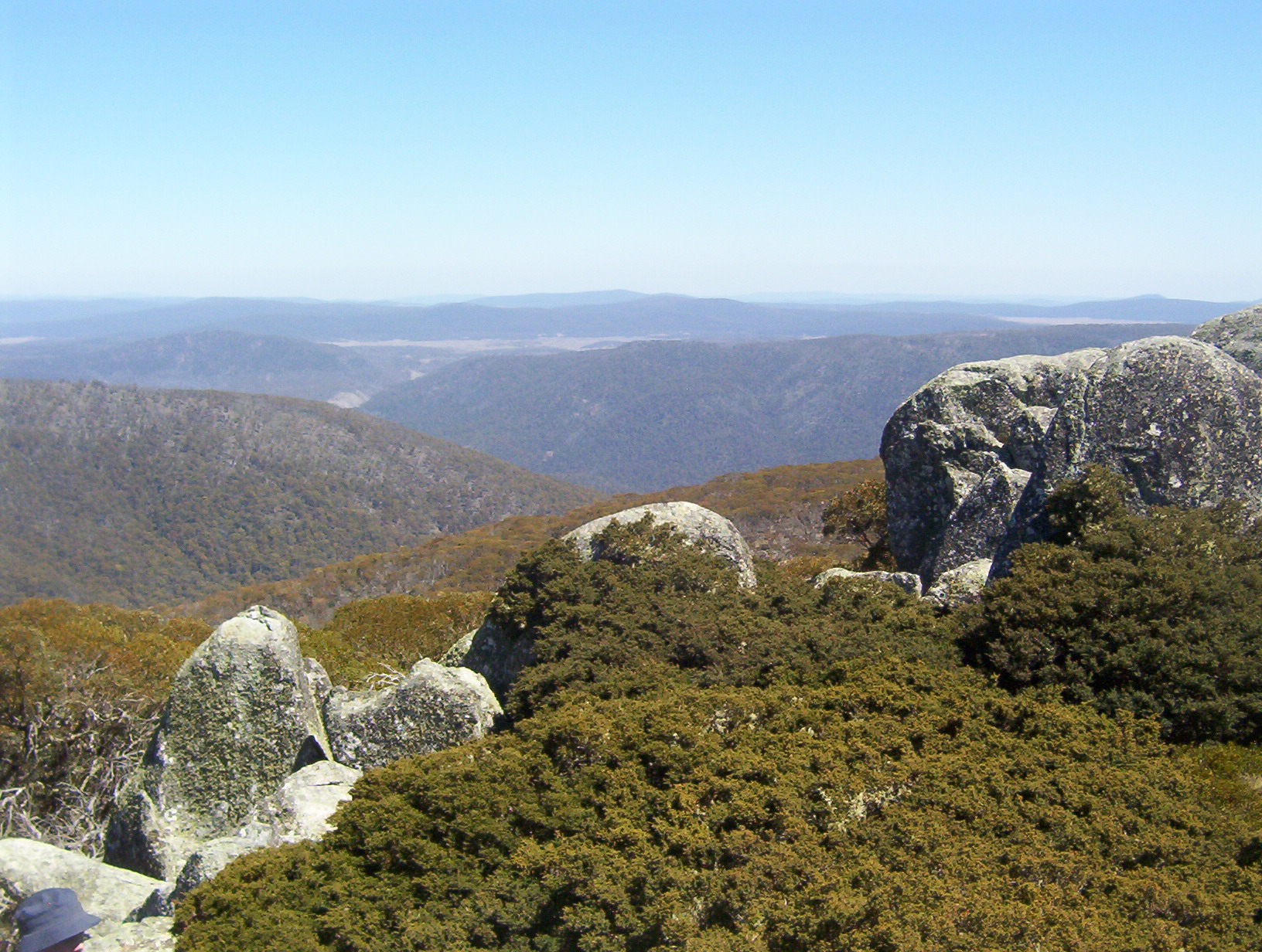
Looking over everlastings on Mt Hotham to Mt Feathertop, Victoria, Australia. 12 Mar, 2005. Photo: John O'Neill

View of Mt Hotham ski fields after 20 cm fresh snowfall, featuring the notable ski run "Mary's Slide". June 2006, Photo: Chris Solnordal.

Mt Buffalo The Horn, 2 December 2006
No comments:
Post a Comment